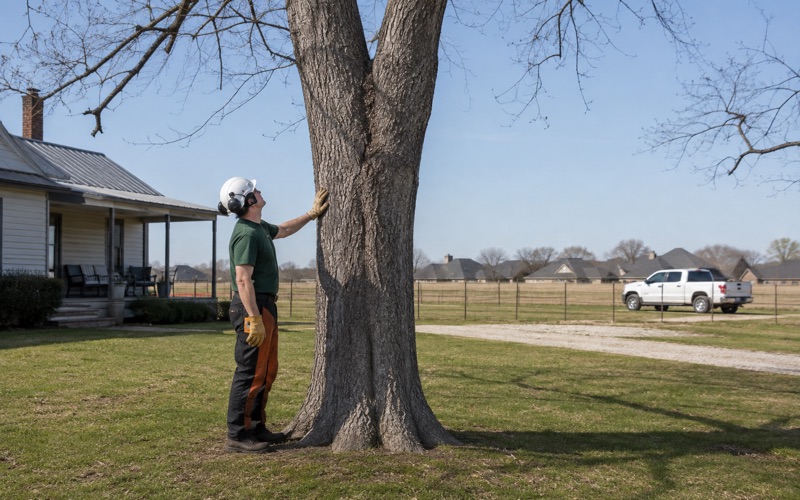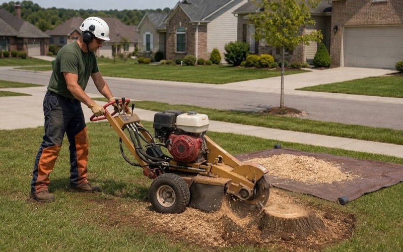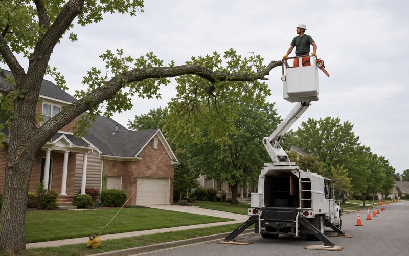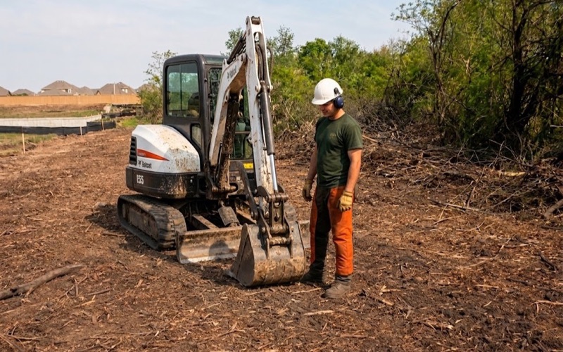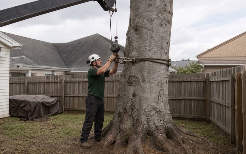
Spring Hill Tree Removal has spent more than twenty years on tree removal in Oak Hill and across Middle Tennessee, and this is one of the few places where we read the ordinance before we price the equipment. A removal here can be a permit question, a slope question, or both at once, and which one it turns out to be depends on where the tree stands rather than on how large it is. We would rather establish that at the estimate than discover it on the morning of the job.
Every quote we write states the inclusions before anyone starts: the trunk rounds, the stump, the grindings and the chips. Estimates are free, and when a tree can be pruned, cabled or braced instead of taken down, we will say so and price that work instead. Pruning is worked to the objectives and cut types the ANSI A300 standard defines, and we do not top trees.
We check which electric utility serves an address before quoting work near a line rather than assuming, and our compact tracked equipment fits through a back-yard gate. Where a homeowner needs the reasoning on paper for a neighbor, an insurer or a review committee, we write up the tree’s condition in a report they can hand over.
Six Hundred Feet of Vertical Range Inside One City
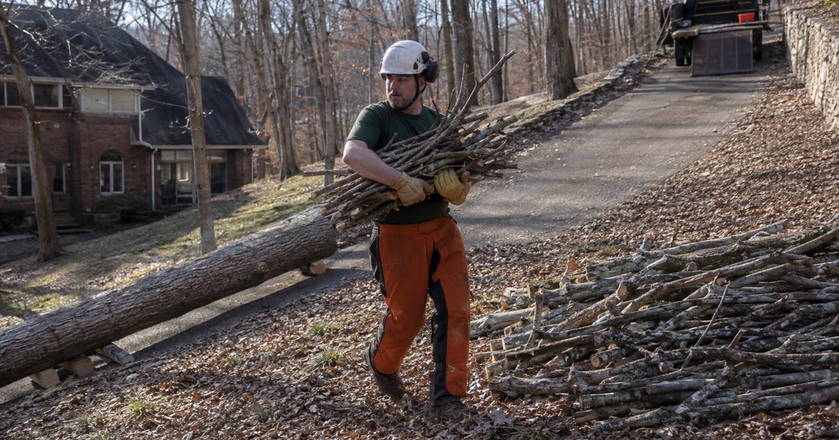
The city marker in Oak Hill stands at 581 feet, which is Central Basin floor. The high ground is not: the majority of Radnor Lake State Natural Area lies inside the corporate limits as an outlier of the Western Highland Rim, and it carries some of the highest ridges in the Central Basin, exceeding 1,200 feet. That is six hundred feet of vertical range inside 7.845 square miles of land.
We treat that range as the whole service story here. A crew can work a level frontage along Franklin Pike in the morning and a Rim ridge above Otter Creek Road in the afternoon, and the soil, the depth to rock, the species mix and the legal regime all change between the two. Nothing about a job on one of those lots transfers cleanly to the other, which is why we walk an address before we price it.
Oak Hill answers its own tree questions
Oak Hill incorporated in 1952, just before the Davidson County and Nashville governments merged, and it kept its own municipal government through that merger. There is an elected Mayor and Board of Commissioners with offices on Franklin Pike, and the city runs its own Planning Commission. The practical consequence for a homeowner is that Oak Hill administers its own Chapter 14 zoning and land use code, including its own tree removal permit, and as we read it the Metropolitan Nashville tree provisions reach Metro rights-of-way and Metro-permitted development rather than land use inside these corporate limits.
Chapter 14, Part 9, Tree Management and Protection runs from section 14-901 through section 14-909, took effect October 25, 2022, and has been amended by Ordinance 2023-04 and by Ordinance 2024-06, the Tree Protection Standards. Under Ordinance 2024-06, until and unless a Tree Removal Permit is issued there is to be no removal of trees from any lot to which those standards apply, and where trees come off a lot in violation of sections 901 through 909 the city may require the owner of the lot to comply. That last clause is why we read the code for the city a tree actually stands in before the saw ever leaves the truck.
Looking for tree-removal closer to Smyrna? See Tree-Removal Services in Smyrna.
Basin Floor or Rim Ridge: What the Grinder Meets
Bodine and loose chert on the steep slopes
On the steep chert slopes the mapped material is Bodine, the most extensive soil series in Davidson County by acreage and mapped there at 20 to 50 percent slopes. It is somewhat excessively drained, loamy-skeletal and siliceous, formed in colluvium or residuum weathered from cherty limestone, with more than five feet to bedrock and 35 to 80 percent chert rock fragments through the particle-size control section. Its native forest is chestnut oak, post oak, blackjack oak, white oak, hickory, maple, beech, eastern redcedar and Virginia pine.
Depth to rock is not the constraint on that ground. The volume of loose chert is, both for anchorage under a tracked machine and for what a few hours of stone does to a grinder wheel. We plan a grind on those lots knowing the teeth will be working rock as well as wood, and we say so in the estimate.
Mimosa and Talbott on the basin slopes
Below the Rim the material is clayey limestone residuum. Mimosa is a fine, well drained but slowly permeable soil formed in residuum weathered from phosphatic limestone, with solum thickness and depth to rock of 40 to 60 inches on slopes of 2 to 45 percent. Talbott, also mapped in the county, is the shallow case at 20 to 40 inches of solum and depth to bedrock over limestone.
A tracked stump grinder rated 12 to 16 inches below grade sits comfortably within soil on Bodine and can be into weathered limestone on Talbott, and nothing at the surface tells a homeowner which of the two is under the lawn. Slow permeability in the clayey residuum matters above ground as well. It holds water in the root zone after a long rain instead of draining it away, and a wide, shallow root plate spread over weathered rock on a grade under a mature crown is the windthrow mechanism this ground actually produces.
Fifteen Percent Slope, and the Permit That Waits On It
The steep-slope regime in Oak Hill is separate from the tree ordinance and binds on top of it. Existing vegetation on slopes of fifteen percent or greater is not to be removed except as approved by the Planning Commission, and no building permit issues for construction on any area of fifteen percent or greater slope until a conforming site plan is approved. Those regulations sit at section 14-138 of the municipal code.
Section 14-904(g)
Ordinance 2023-04 closes the loop between the two regimes. At section 14-904(g), removal of trees from steep slopes, it provides that no tree removal permit for removal of trees or other vegetation from steep slopes may be issued unless the regulations for steep slope areas in section 14-138 are satisfied. In plain terms, a slope of fifteen percent or greater puts the Planning Commission between a crew and a tree before the permit can exist at all.
The Radnor Lake Natural Area Impact Zone
The impact zone is a distinct overlay administered alongside the steep-slope regulations, and a single parcel can carry both sets of requirements at once. What that review takes an interest in is the extent of natural tree and vegetation coverage, existing and proposed, and keeping cleared areas and ridgelines to a minimum. Section 14-139 also limits clearing to the area required for driveways, turnarounds, the house site and a reasonable area around the house for landscaping, and lets the Planning Commission require replacement of removed trees up to the caliper inches removed.
None of that describes work inside the natural area itself, which is state-managed ground kept in its natural state for the wildlife within it. It describes private lots uphill of it, under rules written because of what is downhill.
The trees between the house and the road
The Tree Protection Standards, as amended by Ordinance 2024-06, protect one group of trees very specifically. Trees located between a proposed or existing building or structure and the adjacent right-of-way of a primary or secondary street, with a diameter at breast height of eight inches or greater, must be preserved. DBH is defined there as the diameter in inches measured four and one-half feet above the existing grade.
Those are often the exact trees a homeowner wants gone, the ones dropping limbs across the driveway. We measure at four and a half feet before we say anything about whether a removal is even available, and where it is not, crown cleaning, crown reduction or a cabling and bracing solution is usually the honest answer. The same standards, as amended by that ordinance, require a minimum of fifty-four percent of predevelopment tree canopy cover to be retained and protected, with a variance appeal where satisfying that is clearly impractical.
Ice Load, Line Clearance, and Where the Wood Goes
What the January 2026 storm did to this ground
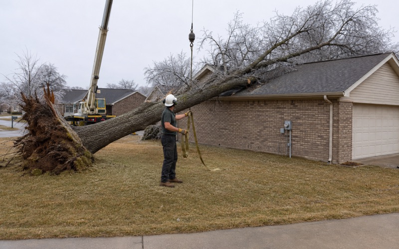
The winter storm of January 24-25, 2026 laid down ice ranging from a glaze to more than half an inch, with a quarter to a half inch typical, and knocked out power to as many as 230,000 households in the Nashville area. Radnor Lake State Park stayed closed with more than seven miles of trails blocked by downed trees and debris, and the Bokor Heights neighborhood near the park dealt with fallen trees and dangling lines.
Ice loading rather than wind is the failure mode this terrain is exposed to, and our storm planning is built around what this area records instead of a generic severe-weather script. A crown carrying an extra layer of ice tends to come apart at co-dominant stems and included bark first, which is exactly the structure worth looking at in a dry month.
Line clearance and the NES fifteen-foot standard
Nashville Electric Service handles vegetation management on the distribution system serving the city, and it revised its standard after that storm. NES expanded the cleared zone from ten feet below the lines to fifteen feet for all tree species, in a horseshoe pattern, and stopped ground-to-sky trimming, leaving lower vegetation and limbs where possible. It reported trimming 587 miles of vegetation between July and December 2025 and noted that the areas being cut had gone four years without maintenance.
The current state of that program is easy to get wrong. Metro Council passed a resolution urging a pause on the blanket fifteen-foot rule; NES rejected that request at its board meeting, stating that the risks posed by overgrown trees ahead of severe weather season outweighed the frustrations, and the council later asked for data proving the more aggressive program was worth it. The council asked and did not get it, so anything close to a conductor here is still worked as line clearance.
Trees to Trails
Metro Nashville does not collect brush inside self-incorporated satellite cities, and all yard waste is banned from Davidson County trash collection, so the city fills that gap itself. It contracts for complimentary monthly collection of typical yard wastes such as tree limbs and shrubbery pruning, with no roots or dirt, plus bagged leaves. That covers pruning debris; it does not cover the volume a removal produces, which is our responsibility and is priced in writing.
The chipped material has a named destination in this city. Trees to Trails is a partnership among Radnor Lake staff, the City of Oak Hill and Clean Earth: residents leave trees along their road frontage for pickup or bring them to Radnor Lake during a January drop-off window, Clean Earth chips them, and the chips are delivered to the natural area as trail mulch.
The stated reasons for mulching there are practical ones: less impact on heavily trafficked paths, less sedimentation runoff, fewer muddy stretches that cause a trail to widen, and native plants that are not trampled. The mulch has reached the Access, South Lake and Valve-House trails and parts of the South Cove and Ganier Ridge trails. When we ask whether you want the chips left on site or hauled, that is where the hauled ones go.
- 20+ Years in Middle Tennessee
- Free Estimates
- Written Scope Before Work Starts